Guyane-SIG
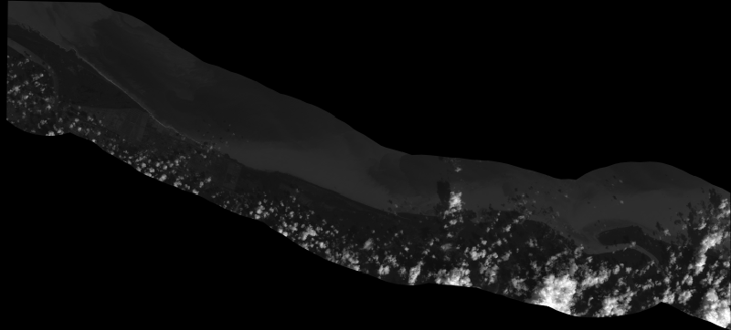
Flux WMS de l'ortho-image SPOT 7 (18/12/2014) - SEAS GUYANE 2014 (phase II) (copie)
Production Guyane SIG à usage technique d'un flux WMS exploitant les bandes RVB de l'ortho-image multi-spectrale à 1,5 m après seuillage et conversion en 8 bits. Pourcentage de couverture des communes : - MANA : 5 % - IRACOUBO : 13 %
Simple
- Date (Creation)
- 2014-12-18
- Identifier
- 6dcda877-81f7-4eef-ba68-136072aae654
- GEMET - INSPIRE themes, version 1.0
-
- Étendue géographique des données
- Theme
-
- seas
- Environnement
- Ortho-imagerie
- littoral
- GUYANE
- SPOT 7
- Access constraints
- otherRestrictions Other restrictions
- Spatial representation type
- vector Vector
- Metadata language
- freFrançais
- Topic category
-
- environnement-et-climat
- Hierarchy level
- dataset Dataset
- Statement
- Non renseigné
- File identifier
- 6dcda877-81f7-4eef-ba68-136072aae654 XML
- Metadata language
- freFrançais
- Hierarchy level
- dataset Dataset
- Date stamp
- 2014-12-18
- Metadata standard name
- INSPIRE Metadata Implementing Rules
- Metadata standard version
- Technical Guidelines based on EN ISO 19115 and EN ISO 19119 (Version 1.2)