 Guyane-SIG
Digital images of former nautical charts.
Non-georeferenced digital images in JPEG2000 format from former hydrographical survey fair sheets obtained from Shom's historical archives.
Simple
- Date (Revision)
- 2016-08-31
- Theme
-
- nautical chart
- JPEG2000
- archives
- product
- JPEG2000
- Use limitation
- The product is distributed under an Opendata license (version 2.0, April 2017), defined by the Etalab mission.
- Use limitation
- Do not use for navigation
- Use limitation
- The product is distributed under an Opendata license (version 2.0, April 2017), defined by the Etalab mission.
- Access constraints
- Other restrictions
- Use constraints
- License
- Other constraints
- No public access restrictions
- Spatial representation type
- Grid
- Metadata language
- freFrançais
- Character set
- utf8 UTF8
- Topic category
-
- Oceans
N
S
E
W
))
- Reference system identifier
- EPSG / WGS 84 / World Mercator (EPSG:3395) / 7.4
- Distribution format
-
-
JPEG2000
(
1.0
)
-
JPEG2000
(
1.0
)
- OnLine resource
-
Shom Geoportal
(
WWW:LINK-1.0-http--link
)
Shom Geoportal
- OnLine resource
-
Shom marketplace
(
WWW:LINK-1.0-http--link
)
Shom marketplace
- Hierarchy level
- Series
- Statement
- Archives historiques du Shom
- File identifier
- ARCHIPEL_CARTES_MARINES_ANCIENNES.xml XML
- Metadata language
- freFrançais
- Character set
- UTF8
- Hierarchy level
- Series
- Hierarchy level name
- Produit
- Date stamp
- 2013-02-26T12:13:51
- Metadata standard name
- ISO 19115:2003/19139
- Metadata standard version
- 1.0
Overviews
thumbnail
large_thumbnail
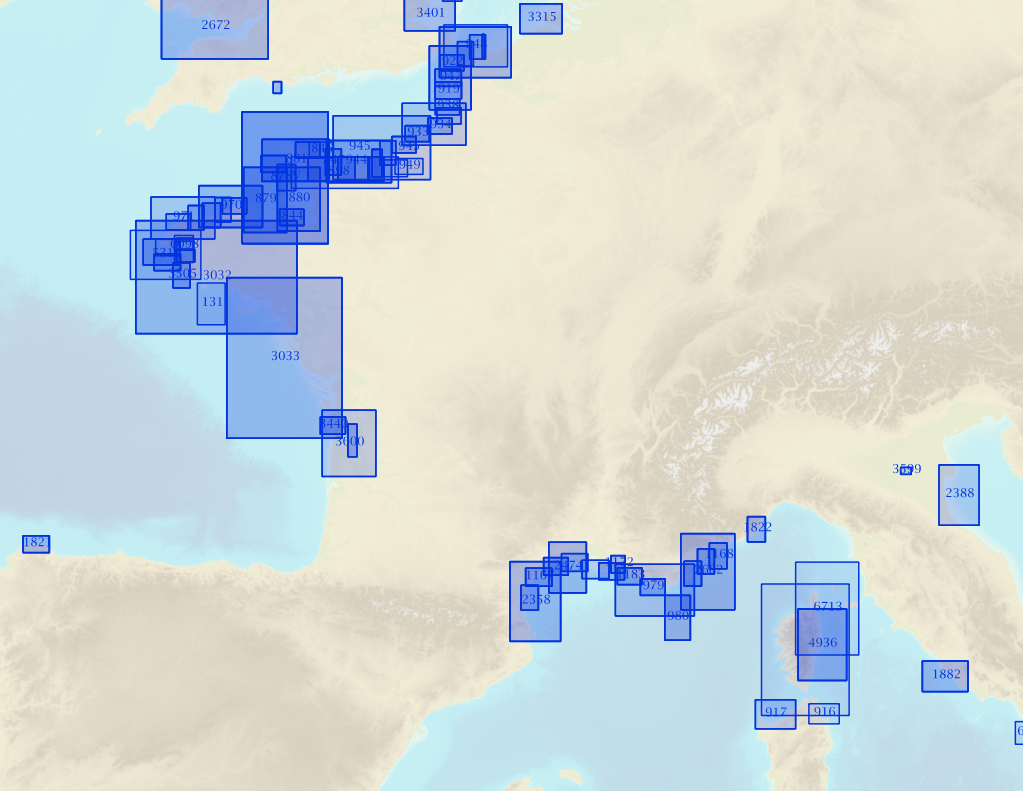
Spatial extent
N
S
E
W
Provided by

Associated resources
Not available